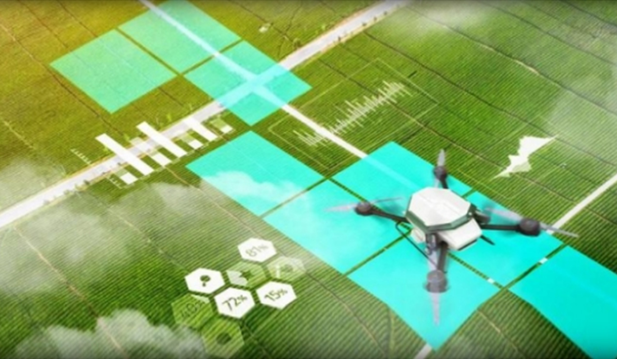
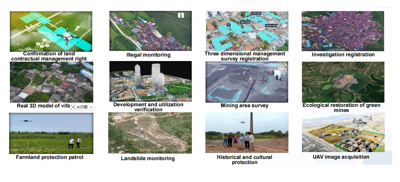
Relying on Beidou grid code, AI track planning, airspace digital twin and other technologies, the "classification, classification, zoning, time-sharing" three-dimensional control of low-altitude resources is realized, enabling farmland protection, geological disaster warning, ecological restoration and other scenarios. Promote the transformation of natural resources regulation from "civil air defense" to "technical defense", and provide new productivity support for the value-added of airspace resources and the refined management of natural resources.