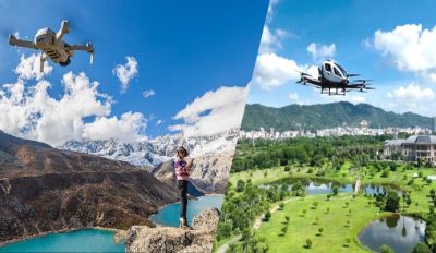
Provide you with a comprehensive solution

Solution
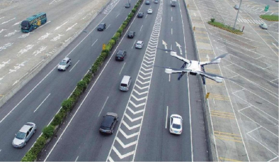
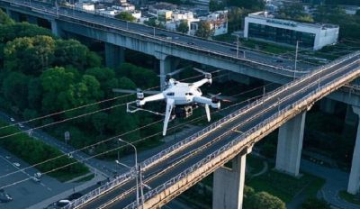
Algorithm for low-altitude control with traffic control
UAVs are used to carry out air patrol, monitoring and law enforcement, and build a new modern policing mode of "integration of air and land", so as to realize real-time and all-round monitoring of road traffic, rapid response to traffic congestion and accidents, illegal evidence collection, traffic accident investigation and traffic dredging, effectively reduce the number of road traffic congestion alarms, and improve the efficiency and accuracy of traffic management.By building a panoramic big data display platform, various real-time signals can be flexibly and comprehensively displayed through the display system, in order to carry out command and disposal work comprehensively, timely, and accurately.
Algorithm for low-altitude control with public security
Focus on creating a three-dimensional integrated automatic patrol mode of "air, road and video", and realize the goal of "intelligent command, accurate service, standardized law enforcement and professional construction" by means of "fine deployment, active early warning, multi-dimensional push and on-the-move troubleshooting", so as to help build a new police operation mode of "specialty+mechanism+big data".
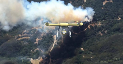
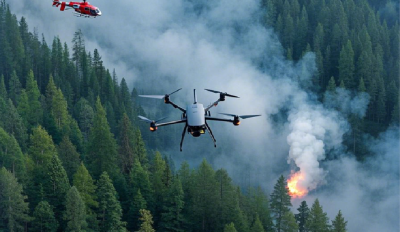
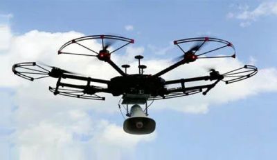
Algorithm for low-altitude control with fire control
The UAV equipped with thermal imaging and visible light integrated cameras can help fire commanders quickly assess the fire situation at the scene, determine the location of fire victims, direct firefighters' fire fighting direction, master the distribution of explosives and chemicals near the fire site, early warning the direction of smoke and fire star drift, transfer people and property around the fire site, find residual fire in the fire site after fire fighting, and provide strong intelligence support to quickly extinguish the fire and avoid additional losses.
Algorithm for low-altitude control with forestry
Forestry intelligent inspection service, machine tower linkage weaving sky eye, man-machine collaborative quick response, and full coverage of satellite machine linkage. Daily, fire and insect conditions are under control. Science and technology escort the green forest sea and guard the ecological safety line.
Algorithm for low-altitude control with cultural tourism
Low altitude cultural tourism builds a multidimensional and three-dimensional tourism scene through the integration and innovation of "low altitude+technology+culture". It breaks through the plane restrictions of traditional ground tour, and provides tourists with panoramic view, immersive VR/AR interaction, dynamic aerial photography and other characteristic services with the help of aerial perspective, so as to create an efficient, convenient and innovative tourism experience with unique perspective for tourists, enhance the emotional value of tourists, and promote the upgrading of the tourism industry.
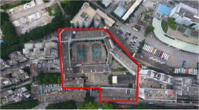
Algorithm for low-altitude control with housing construction
By integrating technologies such as UAV cluster and low altitude Internet of things, we can conduct all-round, high-frequency and high-precision dynamic monitoring and data collection on urban infrastructure, ecological environment and disaster risk, forming an intelligent governance closed loop from risk early warning, adaptive recovery to dynamic resilience index evaluation, and promoting the leap of traditional infrastructure from "passive defense" to "active immunity" and from "single point engineering" to "system resilience".
Algorithm for low-altitude control with emergency
Disasters in China are characterized by a wide range of types, wide distribution, high frequency of occurrence and heavy losses. UAVs have the advantages of flexibility, rapid response and convenient operation. They can carry a variety of loads for emergency support in complex and dangerous environments to achieve intelligent disaster prevention and scientific disaster reduction.
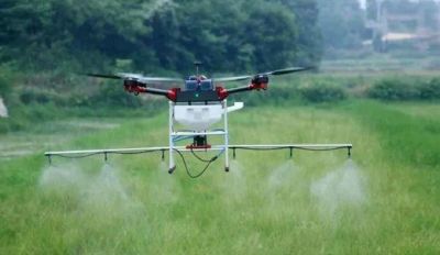
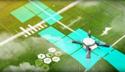
Algorithm for low-altitude control with agriculture
Based on the accurate positioning of Beidou grid code and the intelligent AI service of UAV image, it can efficiently and accurately complete the monitoring of agricultural and forestry diseases and pests, precise fertilization, precise pesticide injection, PEST analysis and other operations, significantly improve the efficiency of agricultural and forestry plant protection, and significantly reduce the labor cost and environmental pollution.
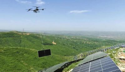
Algorithm for low-altitude control with capital regulation
Relying on Beidou grid code, AI track planning, airspace digital twin and other technologies, the "classification, classification, zoning, time-sharing" three-dimensional control of low-altitude resources is realized, enabling farmland protection, geological disaster warning, ecological restoration and other scenarios. Promote the transformation of natural resources regulation from "civil air defense" to "technical defense", and provide new productivity support for the value-added of airspace resources and the refined management of natural resources.
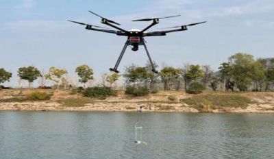
Algorithm for low-altitude control with ecology
According to the characteristics of many blind spots of pollution, strong concealment and difficulty in obtaining illegal evidence, UAV combined with intelligent AI monitoring service ability and low altitude+ecological environment monitoring service system are adopted to realize the application of sewage outlet detection, water quality monitoring of small rivers and lakes, dangerous solid products detection, animal population monitoring and other scenarios, so as to improve the efficiency, accuracy, data collection and analysis ability, emergency response ability and intelligent monitoring and early warning ability of ecological environment monitoring.
Algorithm for low-altitude control with logistics
Based on the new generation of information technology such as UAV, big data and artificial intelligence, we will build an intelligent, information-based, fast and green modern logistics and transportation system. By reshaping the logistics transportation pattern through advanced aviation technologies such as UAV, the spatial dimension of urban logistics is expanded from two-dimensional plane to three-dimensional, showing significant advantages in improving logistics efficiency, reducing costs and optimizing service quality, and deeply promoting the breadth and depth of aviation logistics.
